


AIS (Automatic Identification System) is a topic filled with acronyms, but don’t worry—we’re going to unpack and explain each of them!
If you’d like an explanation on how AIS works and what it is, we’ve written a comprehensive article that can be found here.
What is AIS?
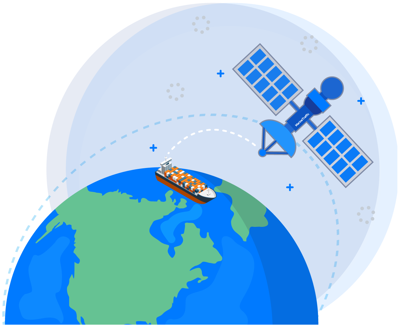
AIS stands for Automatic Identification System. This tracking system utilises AIS transceivers aboard ships, and the information from AIS is used in many scenarios, from leisure craft and surveyors through to commercial vessels and coast guards.
In simple terms, AIS is a collision avoidance system. Every vessel fitted with AIS (either Class A or Class B) will transmit the identity, position, course, and speed in combination with other information automatically.
This information is used by both other boats and shore stations. Shore stations having access to this information mean that maritime safety operations can manage traffic, helping to control and reduce hazards and collisions on the water.
AIS Classes and Transmission Methods
Class A
-
Predominantly uses SOTDMA.
-
Uses RATDMA when first joining the network upon power-up or for non-periodic messages such as text or safety-related.
-
Uses ITDMA when the reporting interval changes (e.g., when vessel speed changes).
Class B
-
Operates using CSTDMA, attempting to find a free slot on the network to transmit.
-
Class B has lower priority than Class A, so Class B transmissions are not always guaranteed if Class A has reserved all slots.
AIS AtoN (Aid to Navigation)
Aids to Navigation (AtoN) are external markers or signals that provide extra information to improve safety on the water.
Types of AtoN
-
Physical AtoN: Visible markers such as buoys or lighthouses.
-
Virtual AtoN: ‘Simulated’ targets (e.g., temporary hazards or virtual shipping lanes) transmitted from a base station.
-
Synthetic AtoN: Physical markers that don’t have their own transmitter; instead, their information is broadcast from a land-based unit.
AtoN Transmission Types
-
Type 1: Transmit-only, using FATDMA (requires a base station to reserve slots).
-
Type 3: Transmit and receive, using FATDMA or RATDMA (does not require a base station). Type 3 with FATDMA has lower power consumption since it doesn’t need to perform listening/receiving functions.
AIS SART (Search and Rescue Transmitter)
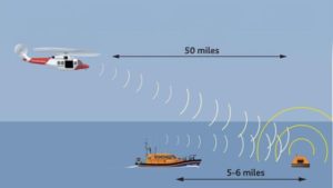
AIS SARTs are distress beacons that broadcast their location via AIS to ships, stations, and rescue centres. They contain a GPS receiver to transmit precise locations.
-
SARTs use PATDMA to send AIS data eight times per minute, including position, speed, and heading.
-
Often attached to liferafts, they help rescue teams calculate intersect points using course and speed to locate survivors quickly.
AIS Acronyms Glossary
-
AIS: Automatic Identification System
-
AtoN: Aids to Navigation
-
SART: Search And Rescue Transmitter
-
VHF: Very High Frequency (AIS operates in this range)
-
SOTDMA: Self-Organised Time Division Multiple Access (Class A AIS)
-
CSTDMA: Carrier Sense Time Division Multiple Access (Class B AIS)
-
FATDMA: Fixed Access Time Division Multiple Access (AIS Base Stations & AIS AtoN)
-
RATDMA: Random Access Time Division Multiple Access (AtoN without Base Station)
-
PATDMA: Pre-Announced Time Division Multiple Access (AIS SART)
-
ITDMA: Incremental Time Division Multiple Access (AIS pre-announcements of transmission)
-
MMSI: Maritime Mobile Service Identity (unique radio identifier)
Conclusion
AIS is a vital technology that improves maritime safety and efficiency, but it comes with a host of acronyms that can seem confusing at first. By understanding the differences between Class A and Class B transmissions, the roles of AtoN, and the function of SART in emergencies, operators and enthusiasts alike can better appreciate how AIS contributes to safer seas.

 AIS: The 101 guide to everything you need to know
 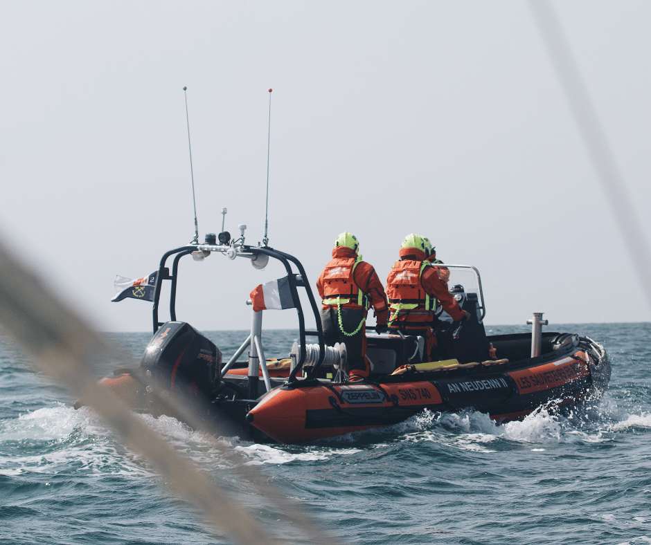 Essential Boating Safety: What You Need to Know
 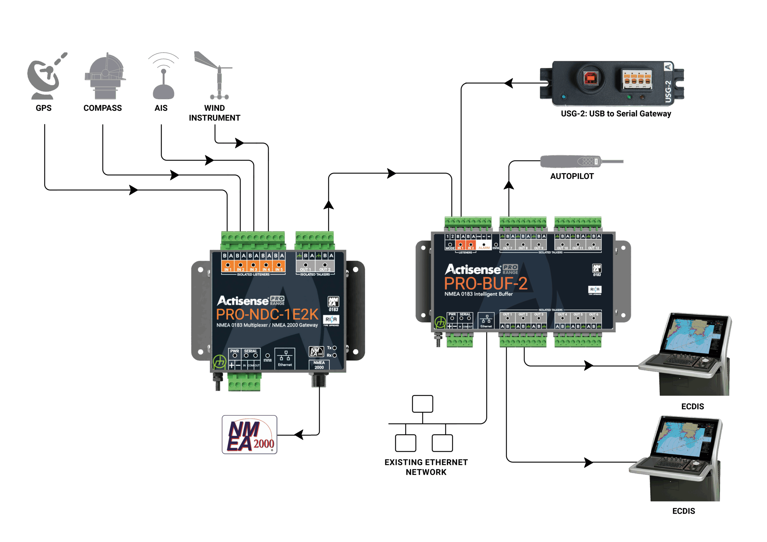 Integrating NMEA 0183 and NMEA 2000 Systems | Commercial Vessels