


AIS is mandatory on any commercial vessels over 300 tonnes and any passenger ferry that is recognized under the SOLAS Convention. Its use has also become a staple onboard many leisure craft around the globe. So, what does it do? and why is it so important?
What is AIS?
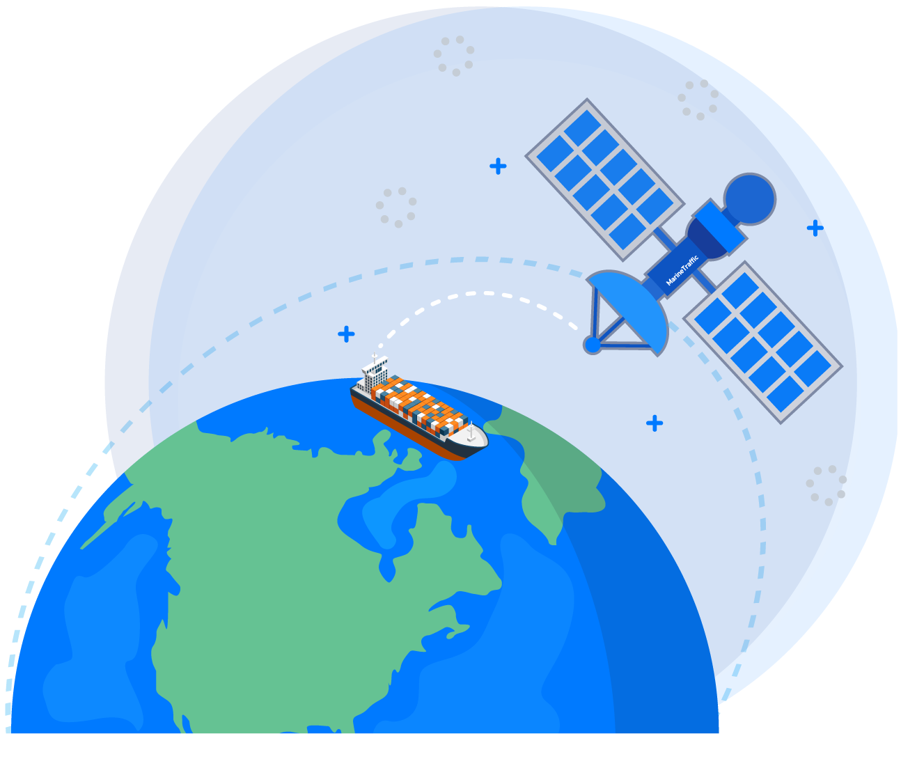
AIS Stands for Automatic Identification System. This tracking system utilises AIS transceivers aboard ships, and the information from AIS is used in many scenarios, from leisure craft and surveyors, through to commercial vessels and coast guards. The list of users for AIS is endless, thanks to how useful and precise the information is.
In simple terms, AIS is a collision avoidance system. Every vessel fitted with AIS (either Class A or Class B), will transmit the identity, position, course, and speed in combination with other information automatically. This information is used by both other boats and shore stations. Shore stations having access to this information means that maritime safety operations can manage traffic, helping to control and reduce the number of hazards and collisions between boats that are navigating on the water.
“Each AIS system consists of one VHF transmitter, two VHF TDMA receivers, one VHF DSC receiver, and standard marine electronic communications links (IEC 61162/NMEA 0183) to shipboard display and sensor systems (AIS Schematic). Position and timing information is normally derived from an integral or external global navigation satellite system (e.g., GPS) receiver, including a medium frequency differential GNSS receiver for precise position in coastal and inland waters. Other information broadcast by the AIS, if available, is electronically obtained from shipboard equipment through standard marine data connections. Heading information and course and speed over ground would normally be provided by all AIS-equipped ships. Other information, such as rate of turn, angle of heel, pitch and roll, and destination and ETA could also be provided.”

Marine Band VHF and AIS operate on a frequency of 156-162MHz. However, AIS operates on two frequencies on a fixed time-frame protocol where: AIS 1 = 161.975 MHz / AIS 2 = 162.025 MHz
4500 time slots are on this protocol every minute (2250 on each channel), and the AIS Transponders/Transceivers are referenced to this via the GNSS (GPS) receiver. Class A takes a higher priority and has ‘reserved’ slots in this time-frame, whilst class B cannot. This allows class A communications to take priority, whilst class B will only be transmitted if there are spare slots. The reason behind this is that whilst both A and B use TDMA, they operate using different versions. Class A operates using SOTDMA (Self Organising Time Division Multiple Access), whereas Class B uses CSTDMA (Carrier Sense Time Division Multiple Access). Some newer Class B AIS systems can now operate using SOTDMA and newer / more complex Class A Transceivers will now display Class B Vessels.
This information transmitted falls into 3 main categories:
- Static Data: Name, IMO Number, Size, Call sign etc…
- Dynamic Data: UTC, COG/SOG, ROT, Heading, Position (Lat/Lon via GPS) etc…
- Travel Data: Type of cargo on Vessel, Destination, ETA etc…
AIS transponders and shore stations collect this information together to form a display like that of RADAR on an MFD. Quite often AIS is used in combination with Radar to give an enhanced graphical display on the MFD, giving the helmsman or boat owner a more complete picture of what is going on around them.

What is Class A and Class B AIS?
From 2002, it was made mandatory to have AIS on any commercial vessels over 300T, and any passenger ferry that is recognized under the SOLAS Convention. These ships must have a Class A AIS system. Class A operates on a much higher power for transmission of up to 12.5W, meaning they can send and receive data over much larger distances than the Class B equivalent. Class B operates up to 2W which means the transceiver range is much shorter, however this is for good reason.
As class B is recommended for leisure and small craft, they usually don’t need to be able to pay attention to vessels further away due to their size and maneuverability. In comparison, a 300Metre Tanker carrying hundreds of Tons needs a much earlier warning of any potential collisions to make necessary course adjustments.
Alongside this, Class A systems must transmit their information much more frequently. Here is the comparison:
Class A
- 2 to 10 second Tx Interval when underway at greater than 3 knots
- 3 Minute Tx Interval whilst Anchored or below 3 knots
- Supplementary data is Transmitted at 6 Minute Intervals.
Class B
- 30 Second Tx Interval when underway at greater than 2 knots
- 3 Minute Tx Interval whilst anchored or below 2 knots
- Much fewer parameters and supplementary data required
Some things do stay the same between Class A and B, such as the reference location method on the Vessel, they are both taken using these measurements:

Another significant difference between Class A and B is the Pilot Port requirement on class A systems. A Pilot-Port is a data interface on or with the Transceiver, which gives Helmsmen and Captains the necessary traffic and navigation data of the waters around their Vessel, usually located at the normal Watch standing Location.
How do our products tie in with this?
A common scenario is VHF/AIS that is NMEA 0183, whilst the chart plotters and MFDs are NMEA 2000. The easy solution for this is our award-winning NGW-1 NMEA bi-directional conversion gateway. The NGW-1 can take NMEA 0183 sentences output from your AIS, and convert them into relevant NMEA 2000 PGNs, which are then shared with every device on your NMEA 2000 network, allowing AIS target and overlay information on the display.
We understand that AIS and baud rates can be a little complicated to those who are not familiar with Marine Electronics, so we offer a pre-configured NGW-1 with AIS firmware. This means that the device is already set to NMEA 0183 High-Speed 38400 baud rate, with all required AIS conversions enabled. It is also possible to configure your ‘Standard’ NGW-1-ISO to behave the same way. Using the latest 2.660 firmware in combination with Actisense Toolkit, we have made this a straightforward process.
Wireless communication is becoming ever more popular on Vessels, and our W2K-1 Wireless Gateway is set up to help achieve your goals. Our wireless gateway is plugged into your NMEA 2000 network so it can receive every NMEA 2000 PGN. The W2K-1 can be connected to a Tablet / Mobile Phone, where apps like Navionics can be utilised. Due to most mobile applications using NMEA 0183 as their data format, the W2K-1 has the same conversion engine as our NGW-1, allowing the W2K-1 to output NMEA 0183 sentences.
Alongside Wireless connectivity becoming more popular, so are onboard computers with charting and navigation applications such as Time Zero. Should you wish to get your NMEA 2000 data onto the PC application, then our NGT-1 NMEA 2000 PC Gateway is a great out-of-the-box solution. The NGT-1 can receive every currently available PGN, meaning no data will be lost between your NMEA 2000 network and the PC. As this device is also bi-directional, the PC application can also be used to Transmit PGNs onto the network via the NGT-1.
Please note, we recommend that Wi-Fi is not used as the primary method of communication. Read more on this topic here.
