


GPS and GNSS satellites are used to provide an accurate location of a person or object near enough anywhere on Earth. The process of how GPS / GNSS works and uses trilateration to determine a location has been previously explained in this article.
So we understand how positioning via satellites works now, but the important question still remains, what do we do with this data?
There are 4 main ways that GPS data can be used;
- Location – determine an accurate position fix
- Navigation – Going from point A to point B
- Tracking – Monitoring the active movement and location of a person/animal
- Mapping – Creating up-to-date and accurate maps of the globe, region by region.
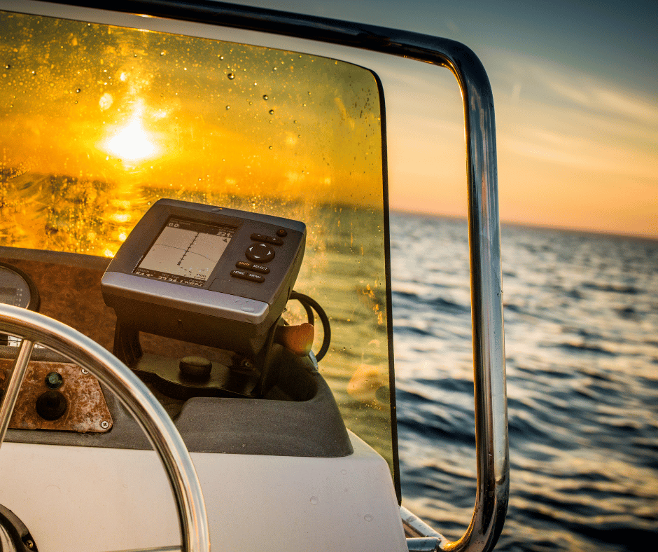
These can be applied to the marine industry and your NMEA 0183 or NMEA 2000 GPS instruments, which are then connected to other devices. Of course, we all understand that the GPS fix will display the current location on an MFD or connected PC Application… but how can we use GPS with other devices?
Using GPS with an Autopilot
Typically speaking, an Autopilot that’s connected to a GPS is much more accurate than one connected to a compass. Compass heading keeps the bow pointed in one direction, but does not accommodate for condition changes such as increased wind. Using a GPS means the autopilot stays on track (using cross-track) which improves travel times and reduces fuel usage. This is accomplished by the autopilot adjusting the direction of the bow to keep the vessel on cross-track whilst adjusting for different conditions which require compensation.
Using GPS with a VHF Radio
VHF Radios are an excellent piece of equipment to have on board, especially when considering safety whilst out on the water. VHF Radios allow for DSC (Digital Selective Calling), which enables distress signals to be sent to the Coast Guard and other nearby vessels. It also enables communication between you and other DSC-equipped vessels.
The benefit of connecting the GPS to the VHF could well be lifesaving. In the unfortunate event that your vessel runs aground or starts to sink, the first thing to do is contact the Coast Guard. If you send out a distress signal with a GPS input connected, your location will automatically be included in the information sent to the Coast Guard and other nearby vessels. This allows a fast and accurate position fix for your vessel, massively reducing the time it takes to respond to the incident.

Using GPS with AIS
GPS connection is fundamentally essential when using an AIS. The idea of AIS is to indicate the target (other vessels) location, in relation to your own. This allows MFDs, etc., to alert for potential collisions if both vessels stay on the same track.
Using GPS with PC Applications
We can also get your NMEA 0183 or NMEA 2000 data to a PC or connected charting application using our products. Getting NMEA 0183 data to a PC application such as Open CPN can be done via an Actisense USG-2 if the data is already NMEA 0183. If your data is NMEA 2000 and you want to get it to your PC for an application like TimeZero, this can be done using an NGX-1 or NGT-1.
The NGX-1 can also be used to convert your NMEA 2000 GPS data into NMEA 0183 GPS sentences and then fed to your PC application via USB if the NGX-1-USB is used, or via serial / DB-9 / USG-2 connection if using an NGX-1-ISO.
Routing GPS data to multiple devices simultaneously
Of course, you may have several of the above devices onboard, all of which would benefit from a GPS data feed. Rather than individually wiring each device to the GPS, an NMEA buffer such as the PRO-NBF-1 or the PRO-BUF-2 can help route and disseminate that GPS signal, allowing all connected devices to use the GPS sentence data as required… a much more user-friendly and wallet-friendly solution.
In summary, we can use GPS for a number of different things when out on the water, ranging from navigation through to aiding with safety. Most vessels have a GPS on board but it may not be utilized to its full extent. If it’s there, why not use it every way you can to make your systems smarter, safer and more efficient?
Please note: check the manufacturer documents to see if your Autopilot, VHF, etc., accepts inputs from GPS, and what format it expects as that will determine if you need NMEA 2000 or NMEA 0183. Always live-test your installation before setting off on a voyage to ensure that your equipment is working correctly. Any concerns or questions should be raised to the manufacturer, or a certified NMEA installer.
 GPS – Who, What, Where?
  A basic explanation of VHF Marine Radio
  AIS: The 101 guide to everything you need to know